Location: Canihuel/Saint Gilles Pligeaux, Cotes d’Armor, Brittany, France
Geo Data: 48 22 40 N 3 02 58 W
Climate Zone/Plant Hardiness Zone: Koppen /Geiger Cfb; 9a or b -6.7C to -3.9C though natural vegetation resembles zone 7.
Rainfall:
Highest/lowest recorded rainfall 750mm
Average annual rainfall 970mm/580mm
Highest recorded 24h rainfall occurrence 30mm
Temperature:
Highest/lowest recorded temperature 39C/-13.9C
Average summer temperature (low) 15C
Average summer temperature (high) 23C
Average winter temperature (low) 5C
Average winter temperature (high) 10C
Potential for extreme weather events: drought, flood, hurricane/tornado, fire, hail in summer
Storms: October 2023 hurricane caused a lot of tree damage on the farm ripping out trees in a diagonal line across the farm indicating concentrated twister behaviour along the hurricane’s path.
Winds: regular and variable in direction, often westerly, sometimes S/W; in winter occasionally arctic causing extreme cold spells (- 8C).
Geography:
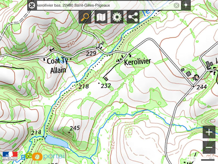
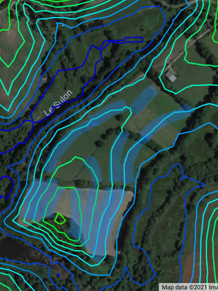
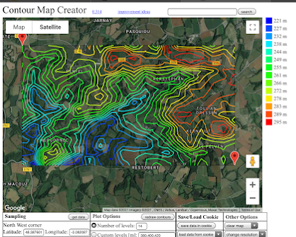
Aspect/orientation: undulating hilltop with a slight northerly aspect, slopes south east, west and north facing
Slope/changes in slope: minimal land slide potential with some exceptions: behind main house (secured by planting and dead hedging)
topographic position: hilltop watershed
landscape profile: exposed (erosion)/hilltop flatland/hills/valleys/granite rock near surface and exposed above ground, rivers and seasonally wetland
highest/lowest points: min. 245/max.218m, average height of fields 230m above sea level
nearest mountain range: Monts d’Aree 93 km to the West between us and the Atlantic coast
distance from the ocean: 136 km to the Atlantic coast to the west; 36 km to the North Sea/English Channel; 79km to the Morbihan coast to the south
distance to the nearest population centre: 14km